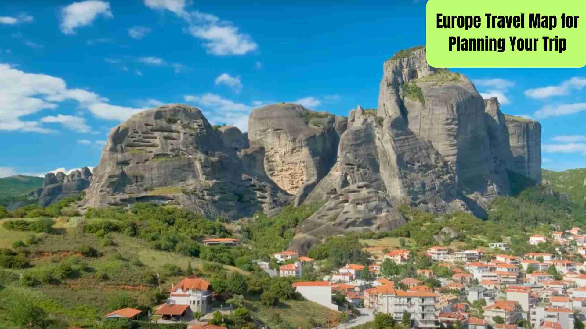
When I first started dreaming about traveling through Europe, it felt overwhelming. There were so many countries, cities, and hidden gems I wanted to explore. How could I possibly fit it all into one trip?
That’s when I realized—everything gets easier with a Europe travel map.
Not just a physical map, but one that helps you organize your route, pin must-see spots, and visualize distances. Whether you’re traveling for 10 days or 3 months, having a map is a game-changer. It’s like laying out a puzzle before putting the pieces together.
Why You Really Need a Europe Travel Map
Let’s be honest: Europe isn’t as big as some continents, but it packs a punch. You can hop from one country to another in just a few hours. But that convenience can also lead to overplanning. (Yes, I once tried to squeeze Paris, Prague, and Porto into a single week—don’t be like me.)
Using a map early on helps you avoid that mistake.
Here’s what a Europe travel map helps you do:
- Visualize your route: See what’s nearby and what’s not.
- Group destinations smartly: Don’t bounce between cities on opposite ends.
- Spot gaps and overlaps: You’ll realize which areas are too crowded or too empty.
- Understand distances and connections: Trains, buses, flights—it’s easier to plan when you know the geography.
You don’t need to be a cartographer. There are tools that make this super simple (we’ll get to those). But what matters most is starting with the right mindset.
North, South, East, West – Europe is Diverse
When people say “Europe,” they usually imagine places like Paris, Rome, or Amsterdam. But a good Europe travel map shows you more than just the top 5 tourist cities.
- Western Europe: France, Spain, the UK, Germany. Great for first-timers.
- Eastern Europe: Poland, Hungary, Romania. Budget-friendly and underrated.
- Northern Europe: Scandinavia, the Baltics. Expensive but stunning.
- Southern Europe: Italy, Greece, Croatia. Beaches, history, sunshine.
Plotting these regions on your map helps you focus. Instead of darting all over, you can explore one area deeply.
Start Broad, Then Zoom In
In the beginning, don’t worry about hotel bookings or train schedules. Your first goal is to see where everything sits.
Open Google Maps. Better yet, use a custom map tool like Google My Maps. Drop pins on cities you’ve always wanted to visit. Maybe it’s Rome, Amsterdam, and Dubrovnik. Then zoom out. Does it make sense as a route?
If not, move things around. This is your sketchpad, not your final draft.
Common Mistake: Chasing Too Much
Trust me, I’ve been there. Seeing 12 cities in 15 days might sound amazing, but it’s exhausting. You’ll spend more time on trains and flights than actually soaking in the vibe.
That’s why the map is so helpful. It gently reminds you: travel is about experience, not quantity.
Best Europe Travel Map Tools to Use
Digital Tools That Make Planning Easy
Let’s face it—folding paper maps are charming, but not exactly practical when you’re building a full Europe itinerary. Luckily, we live in the golden age of travel planning. These tools can help you build a smart, flexible, and shareable Europe travel map in no time.
1. Google My Maps – Your Ultimate Custom Travel Map
This is my go-to. With Google My Maps, you can:
- Pin all the cities and attractions you want to visit
- Add notes like “must-try bakery” or “sunset view spot”
- Color-code destinations by country or interest (e.g., food, museums, nature)
- Share your map with friends or fellow travelers
- Access it on your phone offline (with a bit of preparation)
Tip: Create different layers if you’re planning multiple regions or optional side trips.
2. Rome2Rio – For Planning Transport Connections
Once you’ve marked your destinations, Rome2Rio shows you how to get from one place to the next. Just enter two cities and it will list:
- Train routes and times
- Bus options
- Flights
- Driving directions (with estimated fuel costs)
It even tells you how long each trip takes, so you can decide if it’s worth the travel time.
3. Interrail Map – For Train-Lovers
If you’re considering a train pass like Interrail (for EU residents) or Eurail (for non-EU travelers), this interactive map is essential. It shows:
- All the major train routes across Europe
- Countries covered by the pass
- Night train options
- Travel time estimates
You can even overlay your planned journey to check if the pass is good value.
4. Omio and Rail Europe – For Booking Tickets
Once your travel map is ready and you know which trains or buses to take, Omio and Rail Europe help you:
- Compare prices across different transport modes
- Book in your own language
- See real-time schedules
You can bookmark these tools directly from your map notes, so you don’t lose track of your research.
5. Roadtrippers or Google Maps Driving Mode – For Road Trips
Planning a France, Italy, or Balkans road trip? You’ll want to map scenic routes, petrol stations, and cute stops along the way. Use:
- Google Maps Driving Mode to get real-time updates
- Roadtrippers (best for Western Europe and the UK) to find quirky detours like castles, vineyards, or themed cafes
Combine Tools for the Best Experience
No single app does it all. But together, they make the planning process smooth and fun. Here’s how I usually layer it:
- Use Google My Maps to plot cities and sights.
- Use Rome2Rio to check realistic transport routes.
- Layer in train maps if going rail-heavy.
- Bookmark Omio or Skyscanner for quick bookings.
- Add any specific links or booking pages right into your custom map notes.
This combo turns your Europe travel map into an all-in-one planner.
Sample Europe Travel Map Routes Based on Trip Length
Not Sure Where to Go? Let Your Time Guide You
One of the biggest mistakes I made early on was trying to plan my destinations before knowing how much time I had. The truth? Your trip length should shape your map, not the other way around.
So, here are sample Europe travel map ideas based on how long you’re traveling. These are flexible—just plug them into Google My Maps to get started.
1 Week in Europe – Quick and Focused
With just 7 days, you’ll want to stick to one country or a tight region.
Option 1: Italy Highlights
- Rome → Florence → Venice
This is a classic trio with great train connections. You’ll see ruins, Renaissance art, and canals—all in one week.
Option 2: Paris + Alsace or Loire Valley
- Paris → Strasbourg → Colmar (or) Paris → Tours → Amboise
Great for food, wine, and fairy-tale vibes. Easy train rides between cities.
Option 3: Netherlands + Belgium
- Amsterdam → Brussels → Bruges
Perfect for art lovers and chocolate enthusiasts. Distances are short and the cities are walkable.
2 Weeks in Europe – Mix of Culture and Scenery
With 14 days, you can explore 2–3 countries comfortably.
Option 1: France + Switzerland
- Paris → Lyon → Geneva → Interlaken → Lucerne → Zurich
A mix of big cities and Alpine nature. Trains are scenic and efficient.
Option 2: Central Europe Loop
- Prague → Vienna → Budapest → Bratislava
Budget-friendly, beautiful, and full of history. Great for first-time Europe travelers looking beyond Western Europe.
Option 3: Spain + Portugal
- Barcelona → Madrid → Seville → Lisbon → Porto
Vibrant cities, late-night food scenes, and stunning coastal views.
3–4 Weeks in Europe – The Deep Dive
Now you have time to breathe. You can balance major cities with off-the-beaten-path gems.
Option 1: Western Europe Classic
- London → Paris → Amsterdam → Berlin → Munich → Lucerne → Milan → Venice
Big cities, but spaced out enough to keep the trip relaxed.
Option 2: Balkan Road Trip
- Ljubljana → Zagreb → Plitvice → Split → Dubrovnik → Kotor → Tirana
Drive or take buses. Nature lovers and history buffs will love this route.
Option 3: Northern Lights + Nordic Cities (Fall-Winter)
- Copenhagen → Stockholm → Oslo → Tromsø (Norway)
Ideal for a winter adventure. This one’s pricier but unforgettable.
Flexible 1-Month Interrail Route (Train Focused)
This one’s for train enthusiasts or anyone with an Interrail or Eurail pass.
Route Example:
- Amsterdam → Berlin → Prague → Vienna → Budapest → Ljubljana → Venice → Florence → Rome → Barcelona → Paris
You’ll hit 6–8 countries with a balanced mix of big cities and scenic rides. Spread it out with 2–4 nights per city to keep the pace comfortable.
Use These Routes as Building Blocks
Don’t feel locked in. Your Europe travel map should reflect your style. Some people want museums. Others want beaches or food markets. The best routes are ones that feel right when you look at them on a map.
How to Customize Your Europe Travel Map Based on Your Travel Style
Your Trip, Your Way
Everyone travels differently. Some of us live for art galleries and old libraries. Others want mountain hikes or sun-soaked beach days. That’s the beauty of Europe—it’s diverse enough to match any travel style.
Your Europe travel map shouldn’t be generic. It should feel personal. Here’s how to shape your map based on what you love most.
1. For History & Architecture Lovers
If ancient ruins, medieval castles, and Renaissance churches light you up, your map should include:
- Rome – Colosseum, Roman Forum, Vatican
- Athens – Acropolis and ancient temples
- Istanbul – Where East meets West
- Prague – Gothic, Baroque, and Art Nouveau in one city
- Seville & Granada – Moorish palaces and Islamic architecture
🗺 Pro tip: Use different color pins for eras—Ancient (red), Medieval (blue), Renaissance (green), etc. It adds visual storytelling to your map.
2. For Nature & Outdoor Enthusiasts
Dreaming of lakes, mountains, and long hikes? Your Europe travel map should highlight:
- Interlaken & Zermatt (Switzerland) – The Alps at their best
- Norway’s fjords – Especially Geirangerfjord and Lofoten
- Plitvice Lakes (Croatia) – Unreal turquoise waterfalls
- Dolomites (Italy) – Perfect for hikers and skiers
- Slovenia’s Lake Bled and Triglav National Park
🗺 Add hiking trailheads, national parks, and scenic viewpoints to your custom map. Include cable car locations and trail difficulty notes, if possible.
3. For Food & Wine Travelers
If your favorite way to experience a country is through your taste buds, center your travel map around these culinary gems:
- Lyon (France) – Often called the food capital of Europe
- San Sebastian (Spain) – Pintxos, Michelin stars, seafood
- Bologna (Italy) – Pasta heaven: tortellini, ragu, lasagna
- Porto (Portugal) – Port wine tastings and riverside dining
- Budapest (Hungary) – Goulash, paprika markets, ruin bars
🗺 Mark top-rated restaurants, food markets, wine regions, and local specialties on your map. You can even create a separate layer just for food!
4. For Beach Bums & Island Hoppers
Europe isn’t just museums—it’s also some of the world’s most beautiful coastlines. If you’re after salty air and warm sand:
- Greek Islands – Santorini, Naxos, Milos, or the quieter Symi
- Amalfi Coast (Italy) – Positano, Ravello, Capri
- Croatia’s Dalmatian Coast – Split, Hvar, Korčula
- Portugal’s Algarve – Dramatic cliffs, hidden coves
- Spain’s Balearic Islands – Mallorca and Menorca are dreamy
🗺 Include ferry routes and beach access points on your map. Look for blue-flag beaches (great water quality) and nearby local tavernas.
5. For Budget Travelers
If you’re traveling Europe on a shoestring, your travel map can help you stay cost-aware.
Focus on:
- Eastern Europe – Poland, Romania, Bulgaria
- The Balkans – Bosnia, Serbia, Montenegro
- Off-season travel – January–March and November are cheaper
- Secondary cities – Instead of Paris, try Lille or Lyon; instead of Venice, try Bologna
🗺 Add budget hostels, cheap eats, free walking tours, and public transport routes. You can also pin ATMs and supermarkets.
Create Layers for Your Style
If you like a mix of things (most of us do), create map layers by travel theme: one for food, one for nature, one for culture. This lets you build a flexible plan while still following your passions.
Final Tips to Make the Most of Your Europe Travel Map
You’ve Built Your Map—Now What?
By now, your Europe travel map probably looks like a colorful patchwork of pins, lines, and notes. That’s a good thing! But before you start booking everything, take a deep breath. Here’s how to turn your map into a practical travel plan.
1. Group Your Pins into Travel Days
Your map can show you the big picture, but it also helps to break it down.
Let’s say you have 15 destinations pinned. That doesn’t mean you’ll visit all 15. Group nearby places into realistic day-by-day plans:
- Day 1–3: Rome (with a day trip to Pompeii)
- Day 4–6: Florence and Tuscany countryside
- Day 7–10: Venice and Bologna
🗺 Use colors or map layers to mark each travel day or week. It helps you see where things might feel rushed or too empty.
2. Double-Check Travel Times
This one’s crucial. Your map might make cities look close, but real travel time isn’t always obvious.
- Florence to Rome: 1.5 hrs by fast train
- Paris to Barcelona: 6.5 hrs by train or 1.5 hrs by flight
- Munich to Prague: 5 hrs by bus or train
- Split to Dubrovnik: 4 hrs by car, longer by public transport
Use Rome2Rio or Google Maps to check transit time between pins. Build in buffer time for transfers, delays, or the occasional lazy morning.
3. Balance Big Cities with Slower Stops
Europe is full of iconic cities—but smaller towns often become trip highlights. After a few days in London or Berlin, you might crave peace.
Balance your itinerary with spots like:
- Colmar (France) – A fairy-tale Alsatian village
- Ronda (Spain) – Perched on a cliff
- Český Krumlov (Czech Republic) – Compact and magical
- Hallstatt (Austria) – Postcard views everywhere
- Gjirokastër (Albania) – Underrated and budget-friendly
Add small towns near your major city pins. You don’t have to visit them, but having them marked gives you options.
4. Save Offline Copies
You might not always have Wi-Fi or data. So once your Europe travel map is ready:
- Download offline maps via Google Maps for each country or region
- Export your custom Google My Maps as a KML file
- Take screenshots of your route in case of tech issues
It’s one of those “better safe than sorry” steps—and you’ll be glad you did it on a train with no signal.
5. Be Ready to Adjust
Even the best-laid travel plans change. Maybe the weather turns, or you find a hidden café you never want to leave. A flexible map helps you pivot.
Some quick-adjust tips:
- Mark “optional stops” in a different color
- Save backup transport routes (e.g., night train or budget airline)
- Keep a list of “if we have time” places pinned nearby
Think of your Europe travel map as a guide—not a strict to-do list.
Final Thoughts
Creating a Europe travel map is like crafting your own adventure book. Each pin is a page, each route a story waiting to unfold. With the right tools, a little curiosity, and a map that reflects your style, you’ll be ready to hit the ground running.
So go ahead—start dropping pins, connecting routes, and imagining the sounds, smells, and sights of Europe. Your dream trip is only a map away.